Picture sea ice in your mind. You probably imagine brilliant white, snow-covered floes floating on the surface of the ocean, home to penguins in the south of the globe or polar bears in the north.
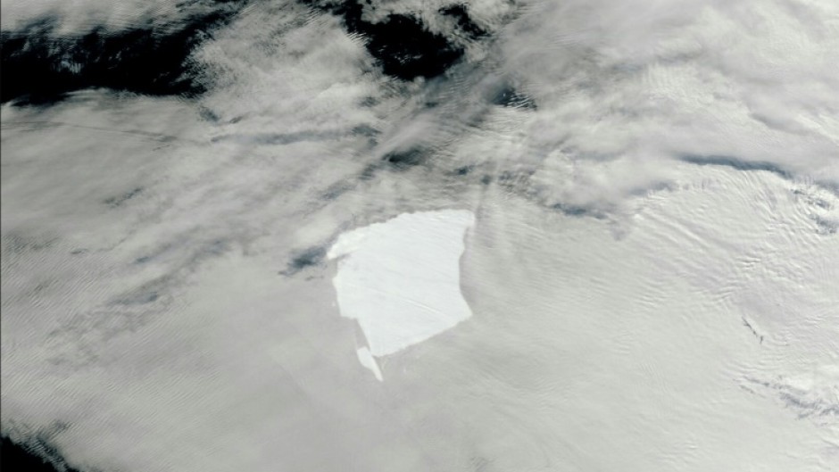
But our new research shows Antarctic sea ice can turn into rafts of rotting floes (the free-floating pieces of ice) or an icy green slush when it interacts with waves in the stormiest ocean on the planet.
We now know the wave-driven processes that cause the surface of the sea ice to melt are a “missing link” in understanding what’s driving the increasing Antarctic sea ice melt each summer.
These processes can dramatically increase the rate the ice melts, with major implications for the global climate and Antarctic marine ecosystems.
Our planetary heartbeat
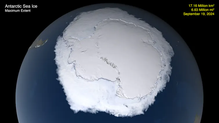
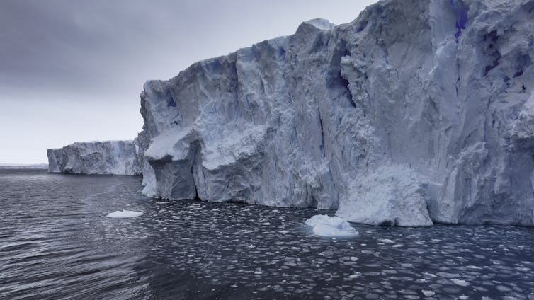
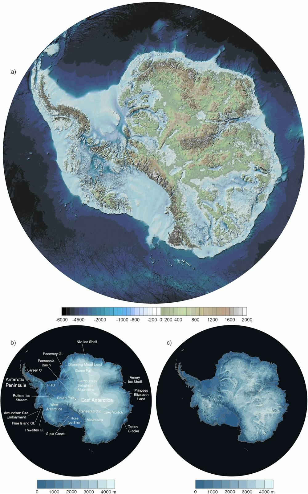
Each year, the sea ice that hugs the coast of Antarctica expands from 3 million square kilometres in summer to 19 million square kilometres in winter, stretching far north into the Southern Ocean. As the sun rises and the temperatures increase, it retreats again.
This remarkable seasonal change is like a heartbeat within our planet’s climate system, moderating global temperatures, driving ocean circulation and forming a unique habitat for a plethora of living organisms, all adapted to its seasonal rhythms.
The annual summer sea ice melt is particularly remarkable because it occurs over only three months. But even the most sophisticated climate models underestimate the rapid rate of sea ice retreat each summer.
How do waves melt sea ice?
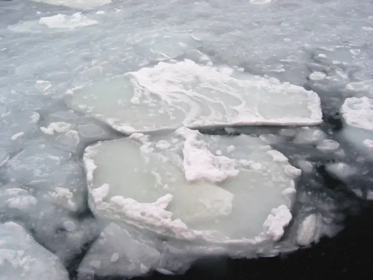
Until now, the waves travelling from the ice-free ocean into the area covered in sea ice had only been studied for their role in breaking up ice floes. We knew these smaller floes were prone to melting around their sides and bottoms as the ocean was heated by the sun as summer progressed.
But this is not the full story.
We now know waves also flood over ice floes, washing away the bright snow cover that shields the underlying ice from sunlight and creating ponds of seawater on the floe surfaces.
Due to their reduced brightness, the snow-free ice and these “wave ponds” absorb substantially more solar heat than snow-covered ice, and this melts the ice from the top down. Moreover, the snow-free ice and wave ponds are oases in which algae thrive, turning the ice and ponds green and absorbing even more heat from the sun.
The waves also pulverise the floes into small fragments and slush. Under the right conditions, the combination of wave flooding, algal greening and pulverisation turns the sea ice cover into a slushy mixture, resembling a green soup.
We estimate that flooding, ponding and pulverisation can increase summer-time ice thinning by over 4 centimetres per day. Algal greening can add an additional 1 centimetre of thinning per day. These are extraordinary accelerators of ice melt, considering that most Antarctic sea ice is less than 1 metre thick at the end of winter.
Waves are also generated deep within the Antarctic sea-ice region by winds blowing over large openings in the ice cover. In this way, wave melt processes eat away at the ice cover from within, as well as from the edge throughout summer.
Feedbacks could trigger further melt
Our ice melt estimates are significant, yet they are likely underestimates. They do not account for amplifications to melting caused by so-called “positive feedbacks”.
For example, the ice darkening caused by waves removing the snow, ponding and pulverisation substantially increases the amount of sunlight absorbed by the ice. This causes additional surface and interior melting, which further reduces the ice brightness. And this causes more vertical melting, and so on, in an amplifying cycle.
We propose that this positive feedback is strengthened by algal greening that further darkens the ice, leading to further absorption of sunlight and melting.
Exactly how much these feedbacks would cause further ice melt is tricky to quantify, so we have left this as an exciting future research challenge.
Ponds at both poles
The Antarctic “wave ponds” we have observed are the seawater equivalent of “melt ponds”. These form extensively across Arctic sea ice in summer from pooling snow meltwater.
These freshwater melt ponds have been intensively studied and integrated into climate models, because of their important role in the rapid decline in the coverage and thickness of Arctic sea ice over recent decades.
Unlike melt ponds, seawater wave ponds occur year-round. Although they only occur in regions where sea ice interacts with ocean waves, this encompasses a large proportion of Antarctic sea ice over the course of a year.
The future of Antarctic sea ice
The effects of wave melt, greening and associated feedbacks are likely to intensify on sea ice around Antarctica over coming decades. Climate change is predicted to increase wind speeds and wave heights across the polar Southern Ocean.
This disruption of the annual sea ice cycle and further sea ice loss has serious consequences for global climate and marine ecosystems.
We need further observations using autonomous camera systems on icebreakers and modelling research to better understand these wave processes and their overall influence on Antarctica’s sea ice cycle.
These advances are vital to understanding the causes of recent dramatic sea-ice losses around Antarctica, and promise vital insights about the future of the icy south and our Earth system.![]()
Luke Bennetts, Professor of Applied Mathematics, The University of Melbourne; Bonnie Light, Physicist, University of Washington; Petteri Uotila, Professor, University of Helsinki; Philip Reid, Scientist, Australian Bureau of Meteorology, and Rob Massom, Leader, Sea Ice Section, Antarctic Climate Program, Australian Antarctic Division
This article is republished from The Conversation under a Creative Commons license. Read the original article.
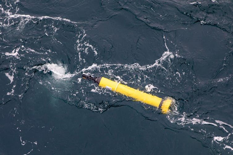 Argo floats are autonomous floats used in an international program to measure ocean conditions like temperature and salinity. Peter Harmsen,

 (Image: IAEA)


 credit – Protection of the Arctic Marine Environment
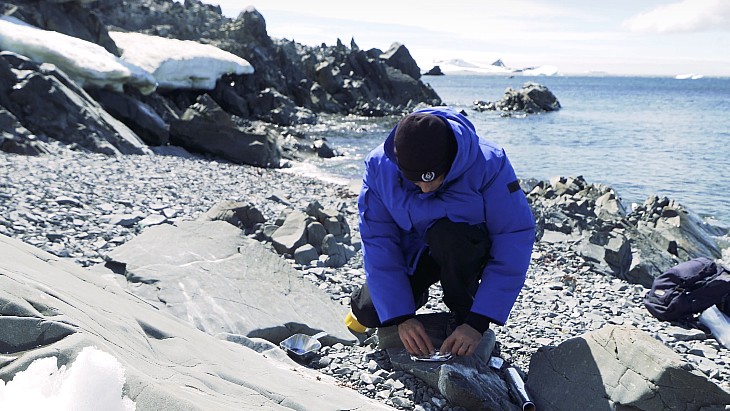
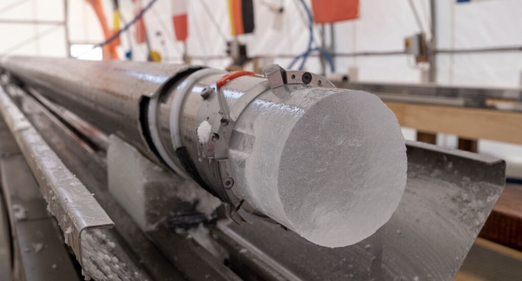 Antarctica ice core – PNRA / IPEV via SWNS
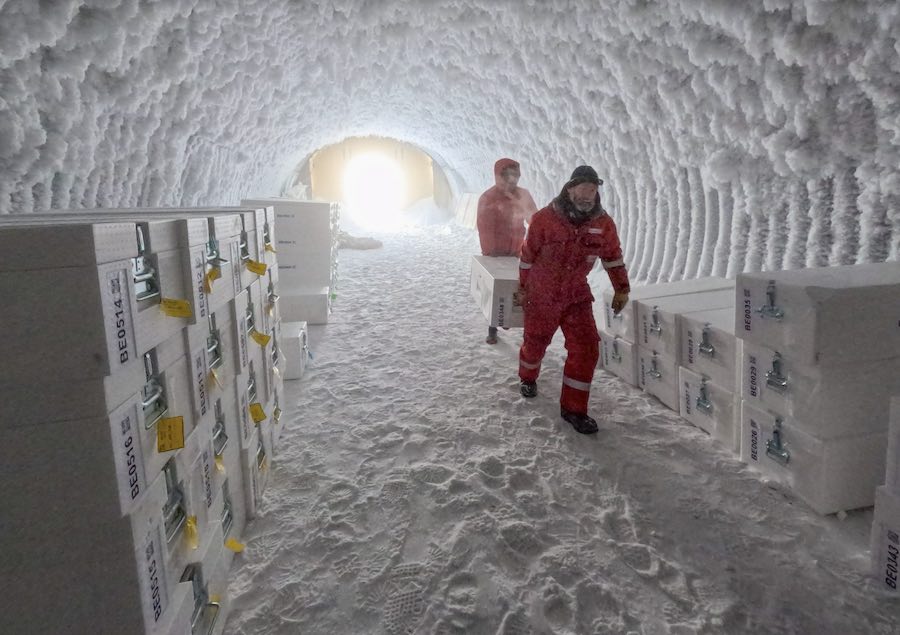 Collecting and classifying ice core samples in Antarctic – PNRA / IPEV via SWNS